World Digital Magnetic Anomaly Map
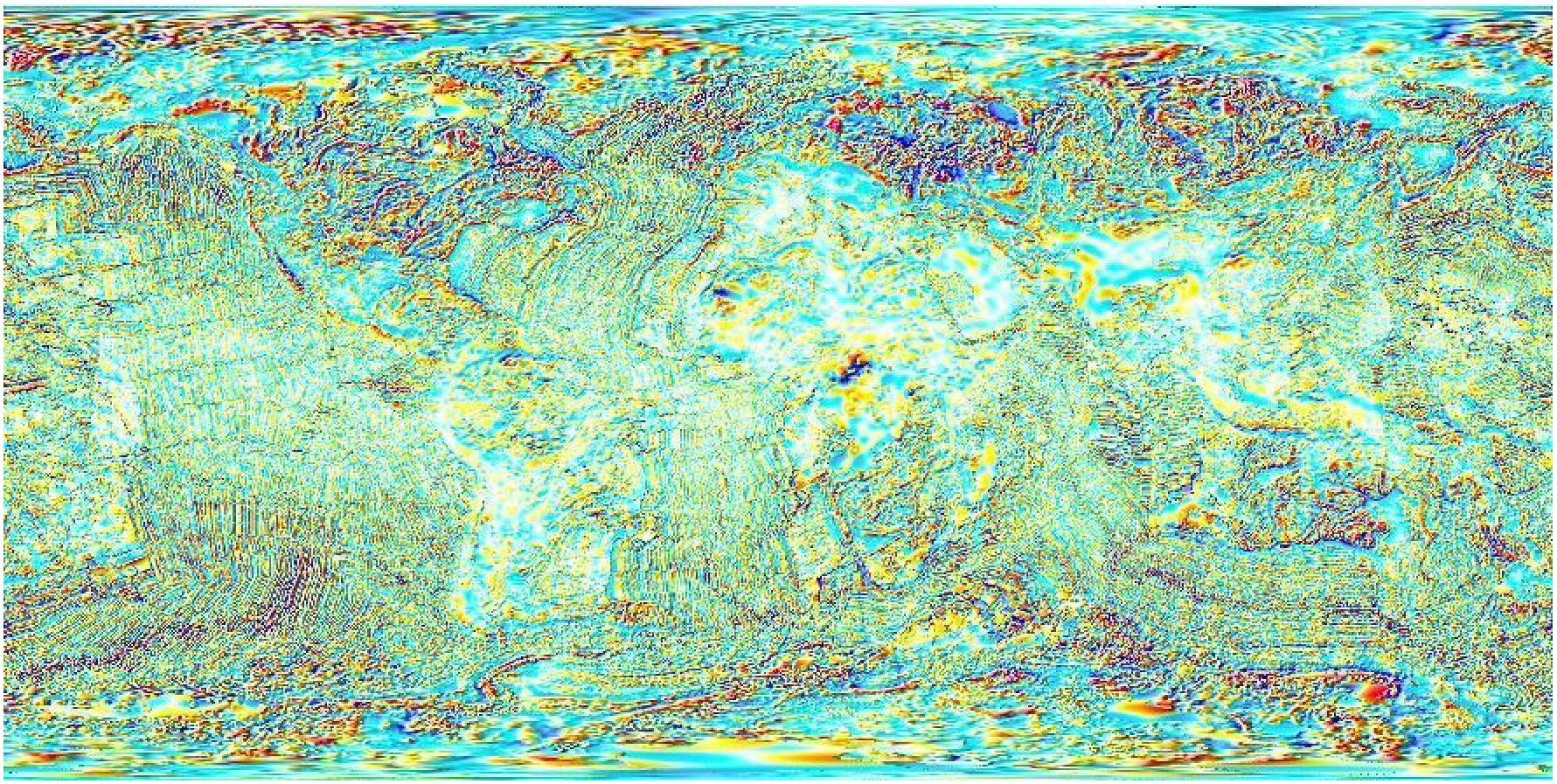
The WDMAM (World Digital Magnetic Anomaly Map) is an international scientific project under the auspices of IAGA (International Association of Geomagnetism and Aeronomy) and CGMW (Commission for the Geological Map of the World), aiming to compile and make available magnetic anomalies caused by the Earth lithosphere, on continental and oceanic areas, in a comprehensive way, all over the World.
The available resolutions for this grid are:
"01d", "30m", "20m", "15m", "10m", "06m", "05m", "04m", "03m". Where the suffixd,mandsstand for arc-degrees, arc-minutes, and arc-seconds. See also the manual of remotegrid for information about the grid registrations.
On first usage, the grids are downloaded to the user ./gmt/server/... directory. On later usages, the grid(s) are loaded from that local directory.
The default color palette table (CPT) for this dataset is earthwdmam.cpt_. It’s implicitly used when passing in the file name of the dataset to any grid plotting method if no CPT is explicitly specified.
Refer to earth_wdmam for more details about technical detail, available resolutions, sizes, version information and references.
Example
G = gmtread(remotegrid("wdmam", res="6m"))
viz(G, shade=true)These docs were autogenerated using GMT: v1.33.1